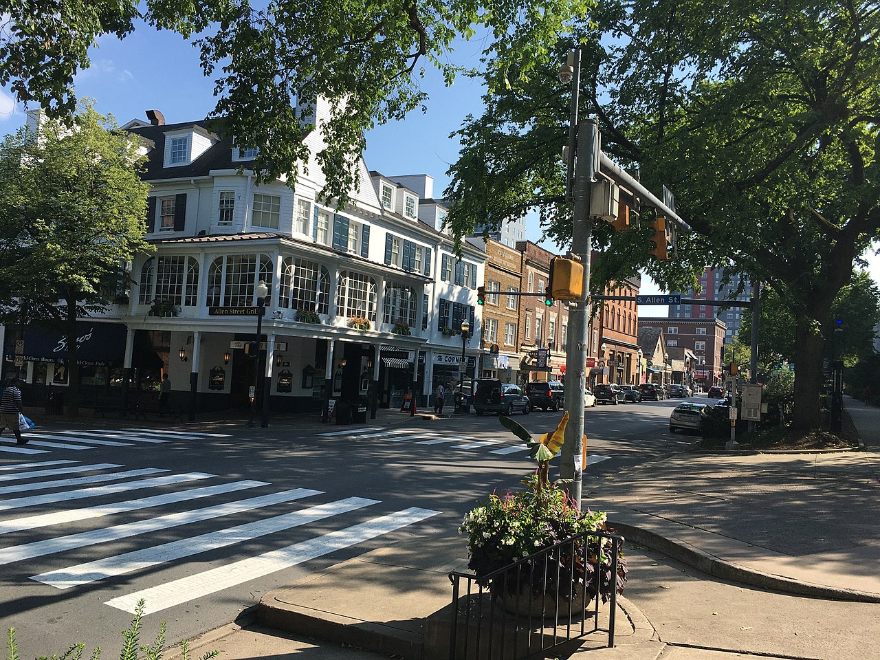
The story
The land at these coordinates—downtown State College—was farmland owned by various Centre County families (Krumrine, Foster, Hartswick) until 1855, when ironmaster James Irvin donated 200 acres to the Pennsylvania Agricultural Society for the Farmers' High School of Pennsylvania. The school opened in 1859 with 69 students in a single limestone building called Main Building. For the next two decades, very little existed around it; an 1883 photograph of downtown shows only a few scattered houses and no civic infrastructure. Between 1890 and 1896, rapid college expansion and population growth forced farmland to be subdivided for residential, commercial, and fraternity buildings. The settlement received official borough status on August 29, 1896, transforming from an ad-hoc hamlet into a municipality. The downtown that emerged along College Avenue and surrounding streets was built almost entirely to serve Penn State (renamed from the Farmers' High School in 1874, then to Pennsylvania State University in 1953). Early downtown buildings included the Hotel State College (1857, expanded 1906), the Tavern (1892 as boarding house, later a bakery and restaurant), and various commercial blocks dating to the early 1900s. Downtown continues to evolve, with recent developments like The Metropolitan (2018) replacing older structures at the Atherton-College intersection.
Everything that was here
- 1896–present · still open
State College (borough)Other
State College was officially incorporated as a borough in 1896, but the settlement itself began three decades earlier around a college nobody wanted to build.
See the map in 1897 → - 1855–present · still open
Farmers' High School of PennsylvaniaSchool
The Farmers' High School of Pennsylvania, established in 1855 and later renamed Pennsylvania State University, was the anchor that created State College itself—the college didn't locate to an existing town, but rather a town grew up around it.
See the map in 1856 →
Did you know?
Connected places
Guardian Building
Cincinnati Music Hall
Crosley Field
Locke Historic District
Maker's Mark Distillery
Explore the full web of connections on the map.
Know something about State College (borough)? An old photo, a date, a memory of what stood here before?
Add it on the map